Explore Escambia County
Get outside, find new places, and explore the parks, preserves, waterways, and beaches that make Escambia County special.
Cache locations are listed below with GPS coordinates and a little about what you can discover at each stop. New locations may be added periodically.
Visit Geocaching.com to log your visitPlan your next stop
Tour locations
Open a location for its coordinates and details. Some parks charge an entry fee; check with the destination before you go.
Admiral Mason Park30º 24.780 N, 87º 12.281 W
The park’s 2.35-acre pond treats stormwater from the surrounding 31 acres, helping protect Pensacola Bay from untreated runoff. Enjoy a walking trail and bay views. Nearby Veteran’s Memorial Park features monuments honoring those who served the United States.
Big Lagoon State Park30º 18.697 N, 87º 24.861 W
Plan a family outing or an extended campground stay. The park offers picnicking, hiking, canoe and kayak rentals, fishing, and a boat launch. Climb the three-story observation tower for views of the Intracoastal Waterway and Gulf Islands National Seashore.
Big Lagoon is also a gateway to the Great Florida Birding Trail and the Circumnavigation Saltwater Paddling Trail. A fee is required for entry.
Carpenter Creek Headwaters ParkN 30º 30.625, W 087º 14.491
The Carpenter Creek Restoration Project will improve creek health and public access. Work focuses on water quality and connectivity, community resilience, and the long-term health of Bayou Texar and the watershed.
Restoration will respond to conditions along the creek and is designed to reduce sediment, nitrogen, and localized flooding while increasing restored wetland acreage. The project also aims to create destinations that connect people to the water and encourage stewardship.
Bruce BeachN 30º 24.299, W 087º 13.393
Bruce Beach is a City of Pensacola revitalization project with restored shoreline, native landscaping, improved stormwater management, and an educational cultural stop on the bay. The park has walking paths, a playground, a central plaza, and a pedestrian bridge over Washerwoman Creek to Community Maritime Park.
Walk the path for panoramic views of Pensacola Bay and learn about the site’s history. Visit the City of Pensacola website
Corrine Jones Park30º 24.494 N, 87º 13.410 W
Located in the historic Tanyard District, this park includes a playground, basketball court, and lighted path around a 2.75-acre stormwater pond. Built in 2017, the pond treats runoff from about 40 acres in downtown Pensacola that previously flowed untreated into Pensacola Bay.
The pond uses underground pretreatment units and wet detention to remove debris and floatables from stormwater.
Escambia County Equestrian Center30º 30.905 N, 87º 22.204 W
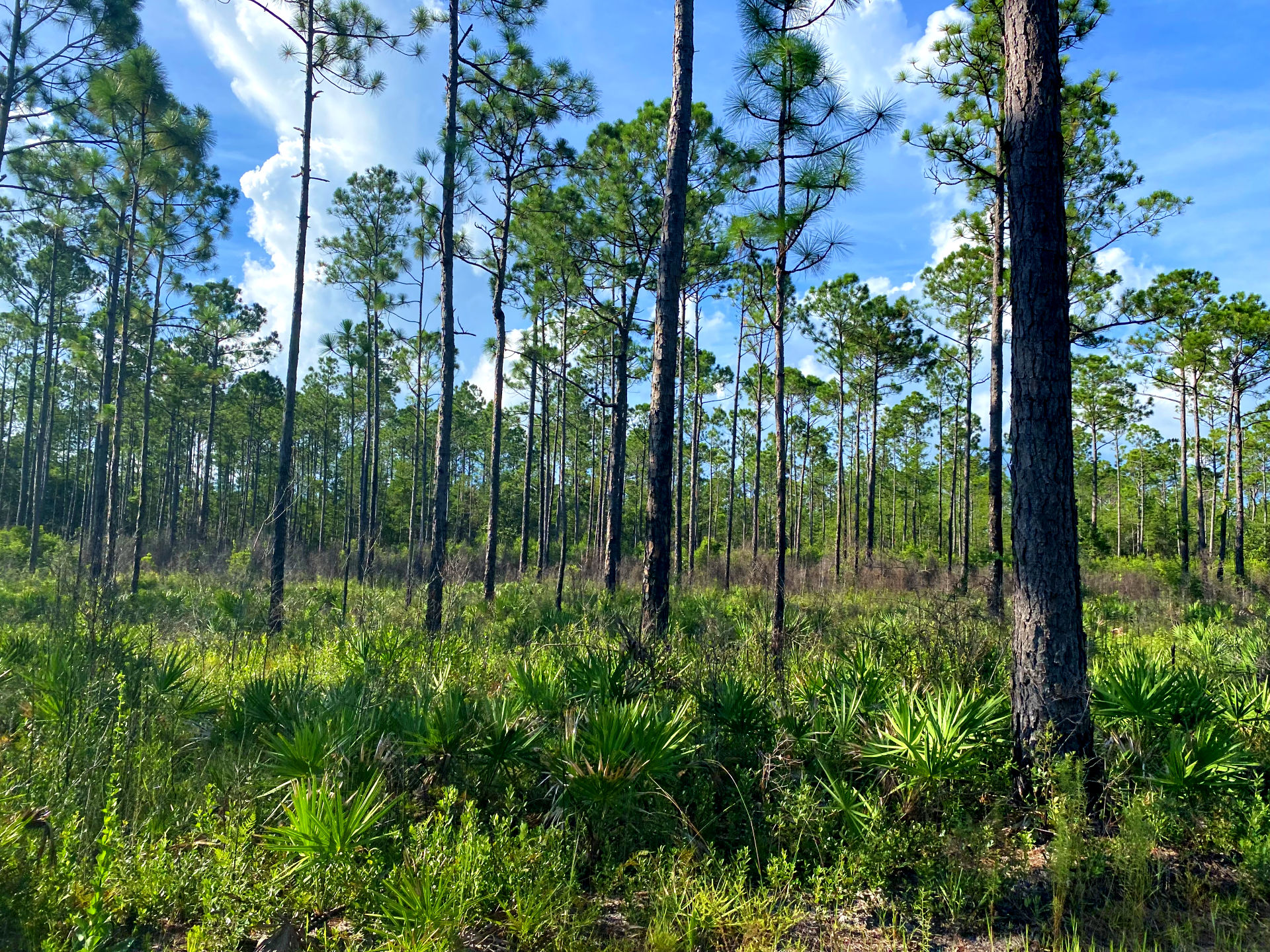
This 151-acre park and multipurpose venue hosts events throughout the year and has just over a mile of nature trails. Gopher tortoises live in the longleaf pine forest and sandy soils on the northern part of the property.
Fillingim Landing30º 40.496 N, 87º 24.359 W
On the Perdido River, this public landing is open for canoe and kayak launches, swimming, and picnicking. Spend time on the white sandbars or explore more of the river along the Perdido River Paddle Trail.
Inez Trailhead, Jones Swamp Wetland Preserve30º 23.562 N, 87º 18.793 W
Jones Swamp Wetland Preserve spans about 1,300 acres of forested swamp, freshwater creeks, and pine flatwoods that help protect water quality in Jones Creek and downstream Bayou Chico. The preserve supports native plants and wildlife and offers natural trails for recreation and environmental education.
Lake StoneN 30º 58.032, W 087º 17.540
Lake Stone Campground is a 100-acre destination in northern Escambia County. Relax under the pine canopy or spend the day fishing on the lake.
Navy Point30º 22.883 N, 87º 17.008 W
This historic Pensacola neighborhood borders Bayou Grande and is next to Naval Air Station Pensacola, home of the Blue Angels. Its amenities include walking paths, parks, a playground, and a large boat ramp with access to Bayou Grande and Pensacola Bay. Visitors may also see the Blue Angels during rehearsal flights.
Paper Park30º 36.645 N, 87º 19.371 W
Opened in January 2025 through a partnership between Escambia County and International Paper, this 68-acre park occupies a former golf course. Visitors can enjoy a walking path, picnic pavilion, 18-hole disc golf course, and playground.
Pensacola Beach30º 20.840 N, 87º 03.456 W
Enjoy the white sand and look for wildlife such as ghost crabs, sandpipers, and nesting sea turtles. Visit the lively area around Casino Beach or enjoy a quieter stretch within Gulf Islands National Seashore at Fort Pickens.
Perdido Key30º 17.483 N, 87º 25.166 W
White sand beaches and rolling dunes covered in sea oats make Perdido Key a popular vacation and ecotourism destination. About 60 percent of the island is protected by federal and state parks, preserving a significant stretch of natural beach and Gulf Coast wilderness.
Tarkiln Bayou Preserve State Park30º 22.112 N, 87º 24.522 W
The park offers three marked hiking trails, including a half-mile ADA-accessible boardwalk to the bayou. In April, visitors may see the threatened white-topped pitcher plant and other carnivorous plants. Birding is available year-round, along with chances to spot wildlife such as white-tailed deer and alligator snapping turtles.
Plaza de Luna30º 24.133 N, 87º 12.894 W
Plaza de Luna sits at the end of Palafox Pier in the City of Pensacola. It is named for Spanish explorer Don Tristan de Luna, who landed in Pensacola in 1559 in an effort to establish a permanent settlement. A hurricane destroyed the settlement and his fleet that same year.
Today the plaza is a popular place for scenic views of Pensacola Bay, fishing, birdwatching, dining, and events.
A few places along the way
Explore the county