


Search by Keyword
Search by Department
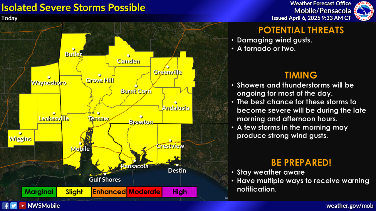
All Departments Administration Corrections Development Services Facilities Management Human Resources Information Technology Library Services Management and Budget Services Natural Resources Management Neighborhood and Human Services Parks and Recreation Public Safety Public Works Veterans Services Waste ServicesEscambia County residents are encouraged to monitor potential severe weather overnight Wednesday, Feb. 12 into Thursday, Feb. 13, with severe storms possible in the area starting at midnight.
According to the National Weather Service of Mobile, Escambia County is in the Slight Risk area for severe storms from midnight to 5 a.m. Potential impacts include damaging wind gusts up to 60 mph, with a couple of tornadoes possible.
Heavy rainfall will be possible, with most areas seeing 1-3 inches of rain. Localized amounts of 4-6 inches cannot be ruled for the areas where storms move over the same area, which would also make flash flooding possible.
A High Risk of rip currents and a High Surf Advisory for waves of 4-6 feet is in affect from Wednesday through Thursday night.
Residents are encouraged to remain weather aware and continue monitoring the forecast for updates. Ensure you have multiple ways to receive warnings and know your safe place ahead of time.
Additional severe storms are also possible for the Escambia County area Saturday night, Feb. 15, into Sunday morning, Feb. 16. Potential threats include severe storms and possible tornadoes. More specific impacts will be provided by the National Weather Service closer to the event.
For more information, monitor the local media and legitimate online and social media sources like Escambia County Emergency Management, US National Weather Service Mobile and Florida SERT.
More information on what to do before, during and after a storm is available online at MyEscambia.com/BeReady. You can also like Escambia County Emergency Management on Facebook and follow @EscambiaBeReady on Instagram for the latest news and updates on emergencies impacting our community.
.png?sfvrsn=46d5116a_1)
.png?sfvrsn=79d5116a_3)
The mission of Escambia County government is to provide efficient, responsive services that enhance our quality of life, meet common needs and promote a safe and healthy community.
Under Florida law, IP addresses and both the content of emails and email addresses are public records. If you do not want your IP address, the content of your email, or your email address released in response to a public records request, do not send electronic mail to this entity. Instead, contact this office by phone or in person.
All content © 2026 Escambia County, FL and its representatives. All rights reserved.